Skip to content
ForM@Ter
  • ForM@Ter pole
    • Presentation
    • Project manager
    • Organization
    • Road Map
    • Contacts
  • Data Access
    • Metadata Catalog
    • Data Centers Resources
      • Deep Geothermal Energy
        • CDGP
      • Geomagnetism
        • BCMT
        • ISGI
      • Gravimetry
        • BGI
        • GRACE / LAGEOS
        • IGETS
        • Interferogram collection on Tibet
      • Landslide
        • OMIV
      • Marine domain
        • EMSO France
        • SHOM
      • Relative level of sea
        • SONEL
      • Seismology
        • RESIF seismic data portal
      • Space geodesy
        • CNES/CLS Analysis Center for IGS
        • IDS
        • IERS-EOP
        • IRTF
        • RENAG (RESIF)
        • RGP (IGN)
      • IPGP – Data center
    • DINAMIS – Spatial imagery
  • Services
    • Interferograms on demand (demo)
    • International Service of Geomagnetic Indices
    • The GRACE Plotter
  • Projects
    • In progress
    • Upcoming
  • News
  • Diary
  • Log In
  • Français

Category: Survey

Survey

RADARSAT-1 user survey

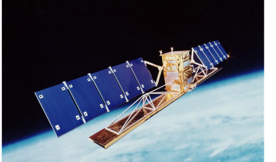
RADARSAT-1 user survey – opportunity to express community needs for archive data

July 3, 2019

Survey

Needs Assessment for a Digital Surface Model Pleiades Gen...

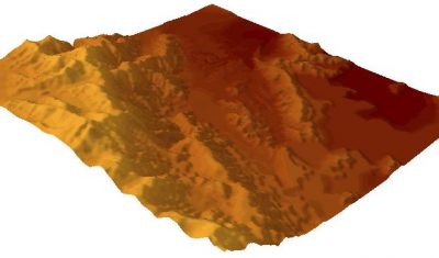
Cnes, Theia and ForM@Ter plan to set up a Digital Surface Model generation service for non-experts from pairs or triplets […]

July 3, 2019

  • CNRS

    CNRS
  • CNES

    CNES
  • IPGP

    IPGP
  • IGN

    IGN
  • OCA

    OCA
  • Obs-Paris

    Obs-Paris
  • BRGM

    BRGM
  • IRD

    IRD
  • SHOM

    SHOM
  • UCA

    UCA
  • UFTMP

    UFTMP
  • UGA

    UGA
  • Unistra

    Université de Strasbourg

© Copyright Pôle Terre Solide 2017