
Service Description
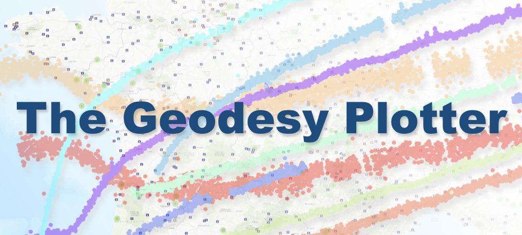
The Geodesy Plotter is a geodetic product visualization platform designed to meet the needs of the Solid Earth research community. Its primary objective is to provide users with user-friendly and scalable access to a wide range of geodetic products, including time series and other products derived from geodetic processing, such as GNSS positioning solutions, velocities, and tropospheric and ionospheric delay products.
The platform was developed by the FormaTerre (Solid Earth) hub within the Data Terra research e-infrastructure, in close collaboration with the GNSS Data and Products Working Group of the EPOS-France national Research Infrastructure, the RENAG National Observation Service, and the SPOTGINS project. This collaboration enables the comparison of different processing solutions and provides users with an integrated service.
The service API promotes interoperability with external tools and services. The platform provides a centralized access point to geodetic products distributed by French research organizations and infrastructures. It is fully aligned with Open Science principles as promoted by the French National Open Science Plans and the CNRS Research Data Plan.
In its first release, The Geodesy Plotter focuses primarily on GNSS time series generated by research groups and GNSS data analysis centers.
Main Features
Data Discovery
The service interface includes a global atlas that allows users to browse and access available datasets.
Data Search
Users can search datasets using:
- Geographic criteria (bounding box)
- Temporal criteria (minimum series duration, start and end dates)
- Source information (network or analysis center)
These filters help users identify and select relevant datasets.
Time-Series Visualization
The platform provides interactive visualization tools for GNSS positioning time series. Users can analyze temporal position variations and compare different processing solutions available for a given station.
Interactive Visualization Tool
An experimental interactive visualization module is available for advanced exploration of geodetic products.
Export to SARI
Time series can be exported directly to the SARI interactive processing environment.
Data Download
Users can download time-series products either manually through the web interface or programmatically through the API.
API Access
In addition to the web interface, the platform provides machine-to-machine access through a REST API. Users can search for and download products using HTTP requests. API documentation is available through an integrated Swagger interface.
Available Processing Solutions (May 2025)
SPOTGINS
A processing solution based on the GINS software suite using the Precise Point Positioning (PPP) methodology.
IGS
The global combined reference station solution from the International GNSS Service (IGS), computed by the IPGP–IGN Analysis Center.
UGA_Epos-Fr_GG
A global solution produced within the EPOS-TCS GNSS framework by the UGA–CNRS Analysis Center.
SOAM_GNSS_solENS
A regional solution covering South America, produced by the ENS Geology Laboratory (Klein et al., 2022).
Additional processing solutions may be integrated upon request.
Access and Usage Conditions
The Geodesy Plotter is available to the scientific and institutional community through the FormaTerre portal. Users can freely browse the database, search for stations and datasets, and download available products.
API Description
Beyond its interactive capabilities, the platform offers programmatic access through a REST API, enabling users to search, filter, and download products using HTTP requests.
To facilitate API exploration and testing, a dedicated Swagger interface is provided.
Contact
For questions, bug reports, or support requests, please contact:
geodesy.plotter@poleterresolide.fr
Example Application
The service can be used to illustrate coseismic deformation associated with the magnitude 9.0 Tohoku earthquake of 2011. The example is based on large-scale high-frequency Precise Point Positioning (PPP) processing of dense GNSS station networks using the GINS software package. Credit: CNES–GRGS.
Suggested short description for a website homepage
The Geodesy Plotter is an online visualization and access service for geodetic products developed by the French Solid Earth community. It provides interactive exploration, comparison, download, and API-based access to GNSS time series and related geodetic products generated by research infrastructures and analysis centers. The platform supports Open Science principles by facilitating access to high-quality geodetic datasets and processing solutions through a unified interface.