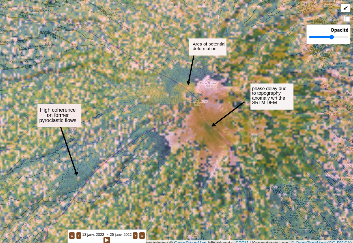
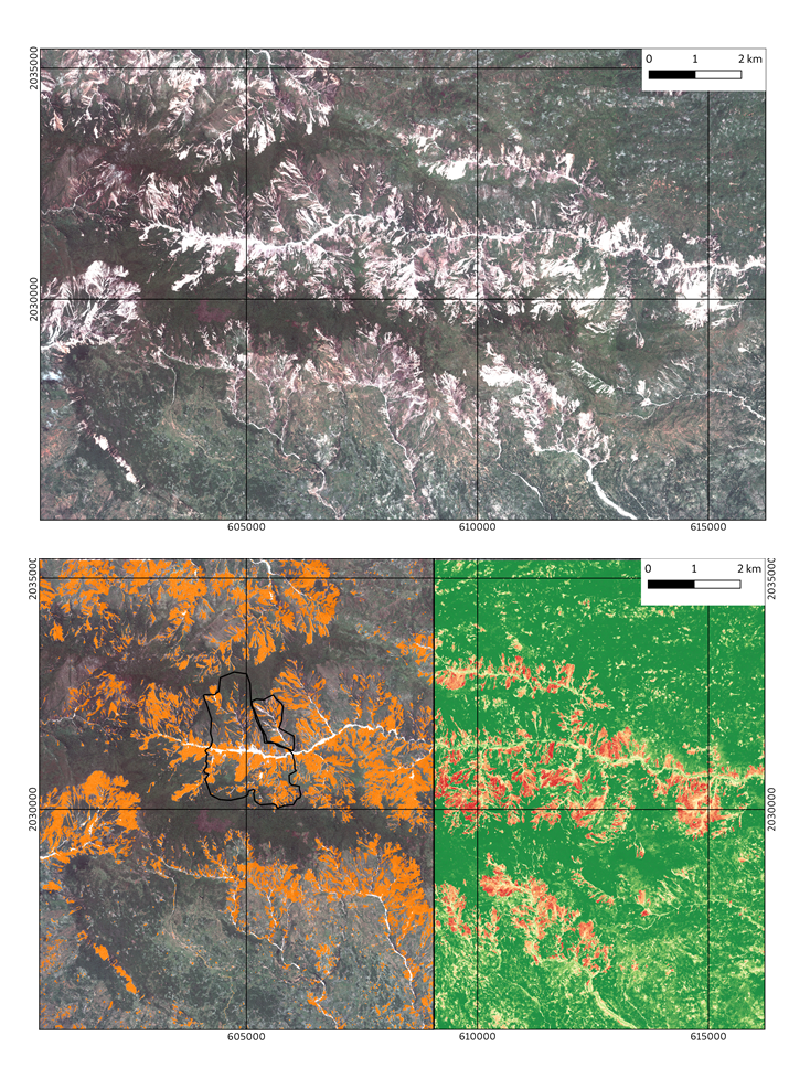
Survey

RADARSAT-1 user survey

RADARSAT-1 user survey – opportunity to express community needs for archive data

Survey

Needs Assessment for a Digital Surface Model Pleiades Generation Service

Cnes, Theia and ForM@Ter plan to set up a Digital Surface Model generation service for non-experts from pairs or triplets of Pleiades images. In order to assess the needs of […]

Job offer

BRGM is opening a post-doc position (18 months) : InSAR and image correlation

The French Geological Survey, BRGM, reference public institution for applied geosciences in France (www.brgm.fr), is seeking for a post-doctoral position in satellite Remote Sensing. The position is based in BRGM […]

ForM@Ter project

The ForM@Ter team presented their processing platform on demand

At the 19th WEGENER conference, in September 2018, the ForM@Ter team presented its interferogram computing platform on demand.

ForM@Ter project

Geomagnetic indices of ISGI on ForM@Ter

The geomagnetic indices and events disseminated by the ISGI are now available on the ForM@Ter portal : Services> International Geomagnetic Indices Service ISGI is the Reference service of the International […]

Various

Sentinel-1 data related to Italian earthquakes on 18 January 2017

A series of earthquakes occurred in Central Italy on 18 January 2017. Related SLC Near Real Time products have been made available on the Copernicus SciHub. Find below the link […]

Newsletters

Newsletter 13

ForM@Ter newsletter September 2016

Job offer

Post-doctorat

Un post-doctorat est proposé par le département Géosciences (ISTerre) de l’université de Grenoble Alpes avec la collaboration du Laboratoire d’Informatique, Systèmes, Traitement de l’Information et de la Connaissance (LISTIC) dans le cadre […]

Tender

Announcement of Opportunity: TanDEM-X Digital Elevation Model

This AO is related to the provision of the digital elevation products with 12 m and 30 m independent pixel spacing generated by the TanDEM-X (TerraSAR-X add-on for Digital Elevation […]